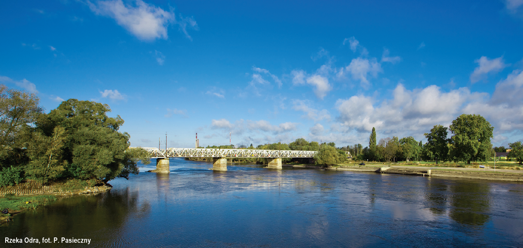
It is the second longest river in Poland and the longest inland waterway in the country. The river is 854.3 km long, 742 km of which are located in Poland. The Oder flows through the following voivodeships: Śląskie, Opolskie, Dolnośląskie, Lubuskie, Zachodniopomorskie. Together with the Gliwice Canal, it forms the Oder Waterway, an element of the European waterway system and a part of IWW E30.
Almost 180 km of the Oder river form the border between Poland and Germany. This section is managed by the Regional Water Management Board in Szczecin (Poland) and the Waterways and Navigation Directorate East with its seat in Magdeburg, field unit – Water and Shipping Authority Eberswalde (Germany).
The upper section of the Oder is regulated and contains 25 locks. The initiative to tame the element had been going on since the 18th century but the actual regulation works began in 1819.
The IWW E70 section of the Oder connects to, among others: the Oder-Spree Canal at 553.4 km, at 617.6 km – to the Vistula-Odra Waterway, at 667.2 km – to the Oder-Havel Canal. Both the Spree-Oder and Havel-Oder waterways connect the Oder with Berlin.
The section between Kostrzyn nad Odrą (617.6 km) and Hohensaaten (667.2 km – the entrance to the Oder-Havel Canal) is regulated by groynes.
NAVIGATION INFORMATION
The Oder is a class III waterway along its 49.6-kilometre stretch from Kostrzyn nad Odrą to Hohensaaten in Germany, making it a transport artery that can be used by vessels of up to 1,000 tonnes.
Depth. The river’s clearances and depths are not constant over its length and range from around 100 cm to 250 cm, depending on the month, year, and the amount of rainfall. Peaks are also recorded during snowmelts and most commonly they are reported in March and April, whereas the minimums – in the summer months. The number of navigable days on the Oder ranges from 250 to 365 days per year.
Width. The section has a very wide river bed (approx. 80 m) with a changing current and numerous shoals. Navigation might be challenging due to siltation occurring at the mouth of the Warta river. The Oder is regulated but the condition of the regulatory infrastructure and the changing depth and width of the waterway adversely affect the stability of navigation conditions. No maintenance works caused the renaturalisation of the Oder to advance.
Power lines, bridges, ferries. As this section of the Oder is a class III inland waterway, there are no high-voltage power lines below the permitted height above the highest navigable water level of 12 m. There are no bridges or ferries along this section. In Gozdowice, at km 645, the „Bez Granic” ferry operates from April to October.
Vegetation. There are no navigational difficulties caused by aquatic vegetation along this section.
Mooring. There are not many mooring spots along this section of the Oder. At the mouth of the Warta river there is a harbour in Kostrzyn (617.6 km). Additional overnight moorings are located on both the Polish and German sides, at 617 km and 625 km. There is also a market mooring spot for tourist and sports vessel in Kaleńsk (623.7 km) and a marina in Kienitz (623 km).
