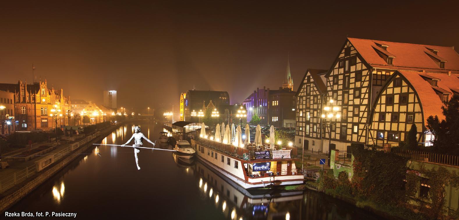
The Brda is a left creek of the Vistula. It flows out of Lake Smołowe near Miastko, 238 km from its mouth in Bydgoszcz. It can be divided into two sections. The first one, not classified as an inland waterway – from 238 km to 14.8 km – creates the perfect conditions for water tourism, e.g. canoeing. The second one, canalised – from 14.8 km to Brdyujście – runs through Bydgoszcz and is classified as a class II navigable waterway.
The upper section of the Brda has some features of a mountain river, which is why canoeists start their adventures almost at its source. The middle section is a bit calmer. The river meanders picturesquely through the surrounding forests and it flows through a number of lakes that are well-known to sailors over the area of the famous conifer woods Bory Tucholskie. In the village of Zapora (Mylof), its artificial arm begins – it is called the Great Brda Canal. Over the past couple kilometres, after passing three hydroelectric power stations and still within the borders of Bydgoszcz, the river surprises with its unharnessed nature.
The Brda is canalised from its 15 km and its width ranges from 40-50 m in the city of Bydgoszcz to 20-35 m on the navigable route itself. Going downstream the canalised section, we pass a number of locks and weir, and in the centre of Bydgoszcz – the historic Wyspa Młyńska (Mill Island) and the, so called, Bydgoszcz Venice.
NAVIGATION INFORMATION
Depth and width. The canalised section of the Brda – from its 14.8 km to Brdyujście – is up to 3-4 m deep, however, the safe depth for two-way navigation should equal 1.5 m. When sailing the canalised section of the Brda, keep to the centre of the navigable route, and when passing under bridges – do not cross beyond the route marked with signs.
Power lines, bridges, ferries. All power lines are suspended 8 m above the water level at the highest navigable water. The lowest bridge along the entire canalised section of Brda is a two-span truss railway bridge with a clearance of 3.2 m at the highest navigable water level and it is the first bridge you encounter when sailing from the Vistula.
Locks. There are two functioning locks along the canalised section of the Brda. The first one – Czersko Polskie – is 12 m wide and in 2002 it replaced the historic Brdyujście lock from the 19th century. The second lock – Śluza Miejska – has dimensions typical to all other locks along the IWW E70, i.e. it is 57 m long and 9 m wide.
Vegetation. The bottom of the Brda is rather tickly covered with aquatic vegetation so you need to pay particular attention to the propeller of your vessel. Your trip might be rendered more difficult between mid-August and the end of October because of the duckweed spreading over the river. In Bydgoszcz, aquatic vegetation is mown at least once a year.
Mooring. You can moor in numerous water sports clubs in Bydgoszcz that warmly welcome all visitors. The river banks in the city centres are equipped with mooring eyes, and sometimes even with bitts. Remember to pay attention to numerous signs forbidding mooring and anchoring, though.
The „Bydgoszcz” marina on Mill Island (Wyspa Młyńska) is a representative facility, located in the city centre. It fits harmoniously into the architectural and urban atmosphere of this place, and makes use of the existing bay, enabling mooring at the nearby piers of the former Rother mill which was adapted to fulfil the needs of the modern city. It consists of two identical buildings that function as hotels, restaurants, and marinas.
Along the eastern bank of the levee, below the Solidarności Bridge, there are berths for around 18 vessels. The marina is also often visited by canoers and rowers, and tourists can rent vessels for personal recreation.
