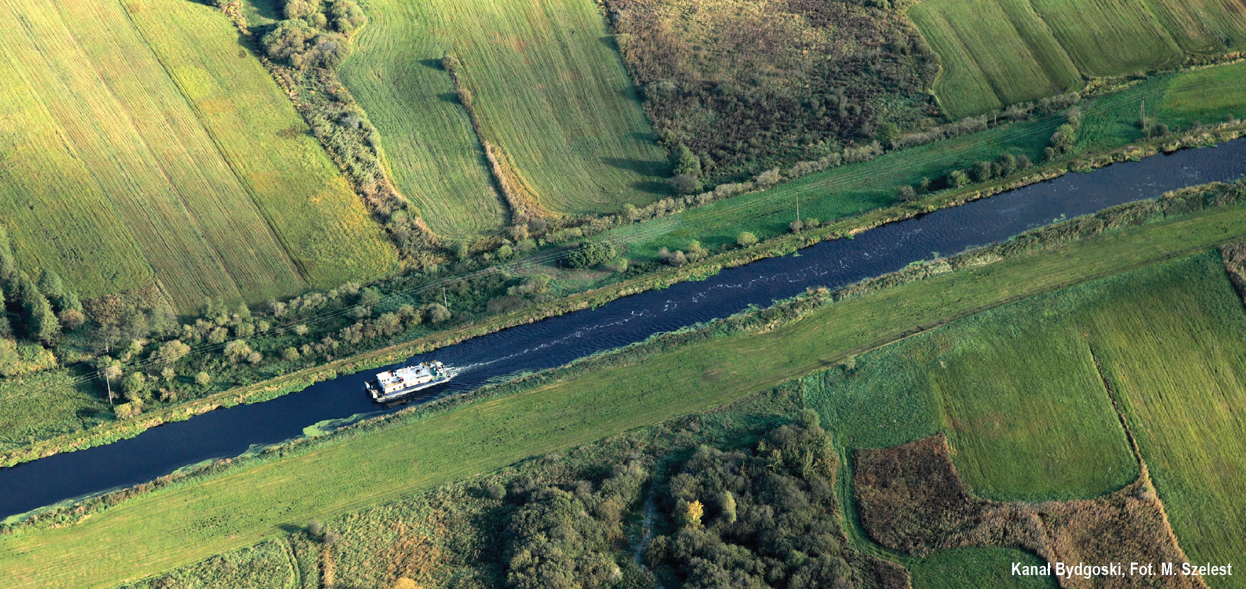
The Bydgoszcz Canal is the oldest operating navigable canal, entered into the register of historical monuments in 2005. The area it runs through served as a trade route with Western Europe already in the 15th century. In the past, the galleys and schooners sailing down the Noteć and Brda were pulled on wheels from one river to the other.
The canal was built between 1772-1774, taking only 18 months to complete. Originally, it was 26.6 km long and had nine wooden and clay locks, however, these materials were not sturdy enough and at the beginning of the 19th century, the locks were rebuilt using stones and bricks, and they survived to this day. The reconstruction of the Bydgoszcz Canal was carried out between 1908-1915 and it determined its final course – the shorter section connecting it to the Brda was finally opened and the number of locks was reduced to six. The oldest section of the canal was decommissioned and nicknamed „the Old”. It is surrounded by extensive vegetation and functions as a tourist attraction in Bydgoszcz.
Currently, the Bydgoszcz Canal is 24.5 km long and is the only artificial route connecting the two largest Polish rivers – the Vistula and the Oder. It falls under class II navigable waterways and it is divided into six sections separated by six locks. It starts in Bydgoszcz at the 14.4 km of the Warta-Oder waterways and ends at 38.9 km in Nakło. The Canal is the right creek of the Noteć from the west, and the right creek of the Brda from the east, and it is fuelled by the waters of the Noteć river, taken in by the Górnonotecki Canal which connects to it at its top section.
You will sail from Bydgoszcz to Nakło with the current – which is very delicate, even though the drops at the locks are relatively substantial – from 1.9 m to over 7.5 m. Every couple kilometres on the right bank, you will notice kilometre markings of the Vistula-Oder Waterway.
NAVIGATION INFORMATION
Professional service is provided by the only marina on the Bydgoszcz Canal – „Gwiazda”, located at the junction of the old Bydgoszcz Canal with its modernised section. It is located on its right bank, near the facilities of the “Gwiazda” Sports Club. The facility is right next to three historic locks: Okole, Czyżkówko, and Bronikowskiego of the Old Bydgoszcz Canal.
The marina includes about 15 berths together with the necessary infrastructure.
Depth and width. The navigable route on the Bydgoszcz Canal is 28-30 m wide and 1.6-2 m deep.
Power lines, bridges, ferries. Power lines are suspended at least 8 m above the water surface. The lowest bridge on the canal is located at Lock No. 6 Osowa Góra and has a clearance of about 3.7 m and is as wide as the lock itself.
Locks. There are six locks on the Bydgoszcz Canal: Okole (14.8 km), Czyżykówko (15.97 km), Prądy (20.0 km), Osowa Góra (20.97 km), Józefinki (37.2 km), Nakło Wschód (38.9 km). All the locks have the same dimensions; they are 57.4 m long and 9.6 m wide.
Apart from the two electrically operated locks (Okole and Czyżkówko), all the other locks are operated manually. With small vessels, operators will usually open only one of the double-door gates. The actual width at the entrance and exit is 4.7 m. When passing through the locks, it is possible to ask the attendant to call and notify the next lock attendant, asking them to open the next lock, considerably reducing the amount of time needed for getting through a lock. As always, the fee is paid inside the lock chamber at the upper water level.
Vegetation. Similarly to the entire Warta-Oder waterway, also along the Bydgoszcz Canal the vegetation is not mown very often. The biggest obstacle for navigation in this area is Lemna Minor, commonly known as duckweed. In the period from mid-July to the end of October, it forms entire green carpets and can cover 100% of the width of the waterway, with a thickness over 5 cm.
Mooring. The banks of the Canal are not suitable for mooring, however, in special cases it is possible to gently „slide” in the shoreline vegetation. It is also possible, with the permission of the lock attendant, to moor at the lower or upper outport.
