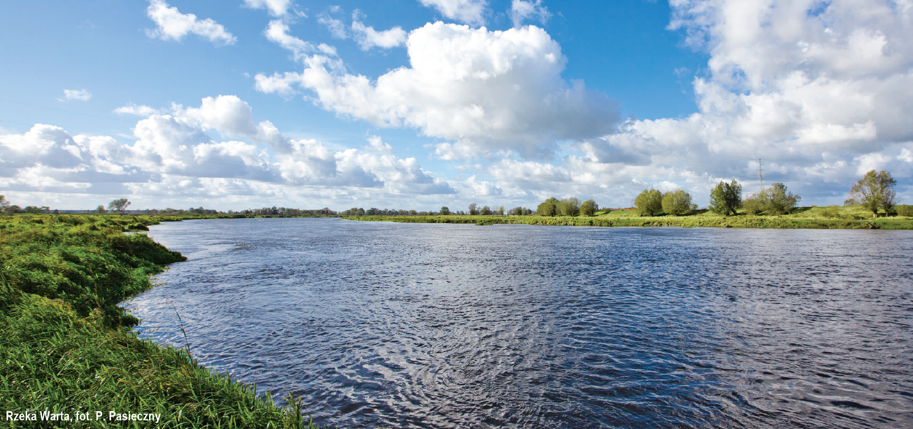
The right and the longest creek of the Oder. It is 808 km long and is the second longest river, after the Vistula, flowing entirely within the borders of Poland. Before it reaches Poznań, the river flows through the oldest protected glacial area in Poland – the Wielkopolski National Park.
The part of the navigable section of the Warta is also the longest section of the Great Loop of Wielkopolska and constitutes a transport route which has not been used until now and which could connect Poznań with other towns of Wielkopolska and Polish seaports. The Warta does not have any locks and the hydroelectric power station with a dam and a retention reservoir in Jeziorsko is the main hydrotechnical structure regulating its water level.
For proper water management over this hydrologically complicated area, numerous pumping stations have been built, e.g. in Słońsk, Kłopotow, or Kostrzyn Warniki. Backwater in the lower Warta valley is a well-known phenomenon, where the waters of Warta and Oder flow over embankments into a retention reservoir prepared for this very purpose. The average gradient of the Warta equals 0.45 ‰ along its entire length, and over the last 68 km – only 0.13 ‰, i.e. 13 cm per km.
NAVIGATION INFORMATION
The section of the Warta from the estuary of the Noteć do the estuary of the Warta to the Oder (which is the section of IWW E70) is classified as class II navigable waterway. The length of this section is 68.2 km. Both banks of the river are lined with spurs along the whole section, reaching about 20-25 m into the riverbed. They are often damaged or destroyed and thus invisible, as they are covered by water. Lack of familiarity with the regulatory structures may result in boats repeatedly bumping into the spurs which might cause damage to the vessel.
Depth and width. The transit depth on the Warta for two-way traffic equals about 1.5 m at average water levels. Current information on the water level is given on information boards at the Krzyż lock no. 22 (at 176.2 km), and in Kostrzyn (at 4 km; right bank of the Warta, in front of the Regional Water Management Board building). Current information is also given on an information board in Santok ( at 67.7 km; right bank). There you can find transit depths in the directions to Krzyż, Poznań, and Kostrzyn nad Odrą. You can also check the water levels yourself at stream gauges: 3.65 km, right bank in Kostrzyn, 28.5 km, right bank in Świerkocin, and 57.5 km, left bank in Gorzów Wielkopolski. There are large fluctuations of water level: up to 1 metre daily and up to 4 metres annually.
The width of the riverbed reaches 90 m, however, the width of the route itself varies from 50 to 70 m. Additionally, it is limited by spurs (often hard to notice). Along the entire section, there are also floating signs indicating navigable route borders in the form of red cylinders on the right bank or green cones on the left bank.
Power lines, bridges, ferries. Medium- and high-voltage power lines do not impede navigation on the Santok-Kostrzyn section. The lowest bridge is a road bridge in Kostrzyn (at km 2.45) with a clearance of 3.9 m at high navigable water level.
Ferries. Two ferry lines cross this section of the river: one in Santok at 67.7 km and the other connects the towns of Witnica and Kłopotowo at 22.3 km.
Vegetation. There are no navigational difficulties caused by aquatic vegetation along this section.
Mooring. The pleasant sandy and green banks of the Warta may tempt us to touch land, but the washed out and in many cases invisible groynes can make it very difficult. That’s why, it is more advisable to use the yachting club marinas, small harbours and loading wharves – especially in Gorzów Wielkopolski – which are quite numerous along this section, and the owners might even grant you the access to utilities or even watch over the vessel.
