


The Polish section of the International Waterway E70 flows through six voivodeships (Zachodniopomorskie, Lubuskie, Wielkopolskie, Kujawsko-Pomorskie, Pomorskie, Warmińsko‑Mazurskie).
The waterways on this route are managed by 2 Inland Navigation Offices (in Szczecin and Bydgoszcz) and administered by 3 Regional Water Management Boards (in Szczecin, Poznań, and in Gdańsk), and by the Maritime Office in Gdynia.
The Polish section of the International Waterway E70 consists of the following parts:
- The Lower Oder
- The Lower Warta, free-flowing
- The Lower Noteć, free-flowing and canalised
- The Bydgoszcz Canal
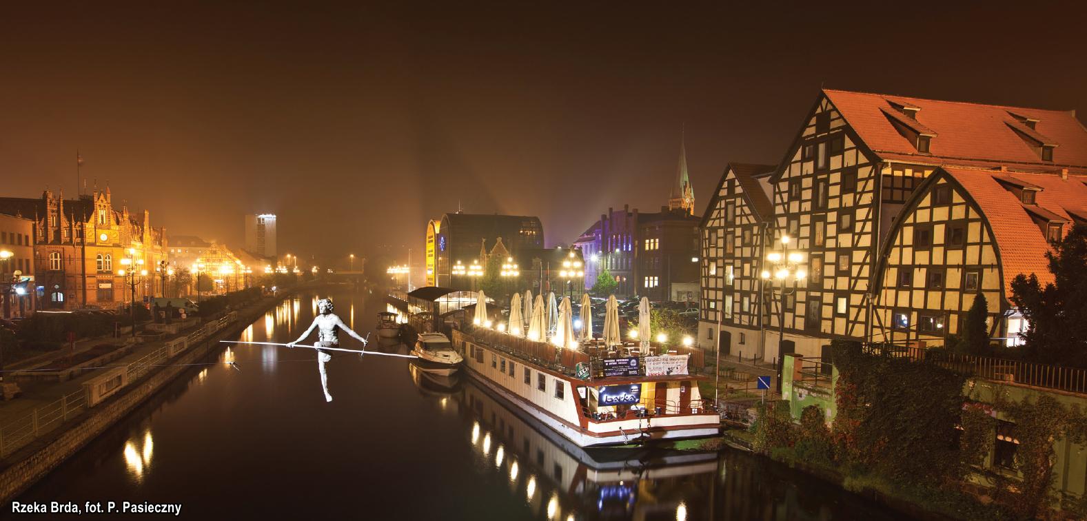
- The canalised estuary section of the Brda river
- The Lower Vistula (from the mouth of the Brda river to the Nogat river)
- The Nogat
- The Jagiellonian Canal
- Elbląg river
- The Vistula Lagoon
- The estuary section of the Vistula
- The Motława
- The Szkarpawa
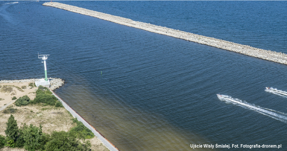
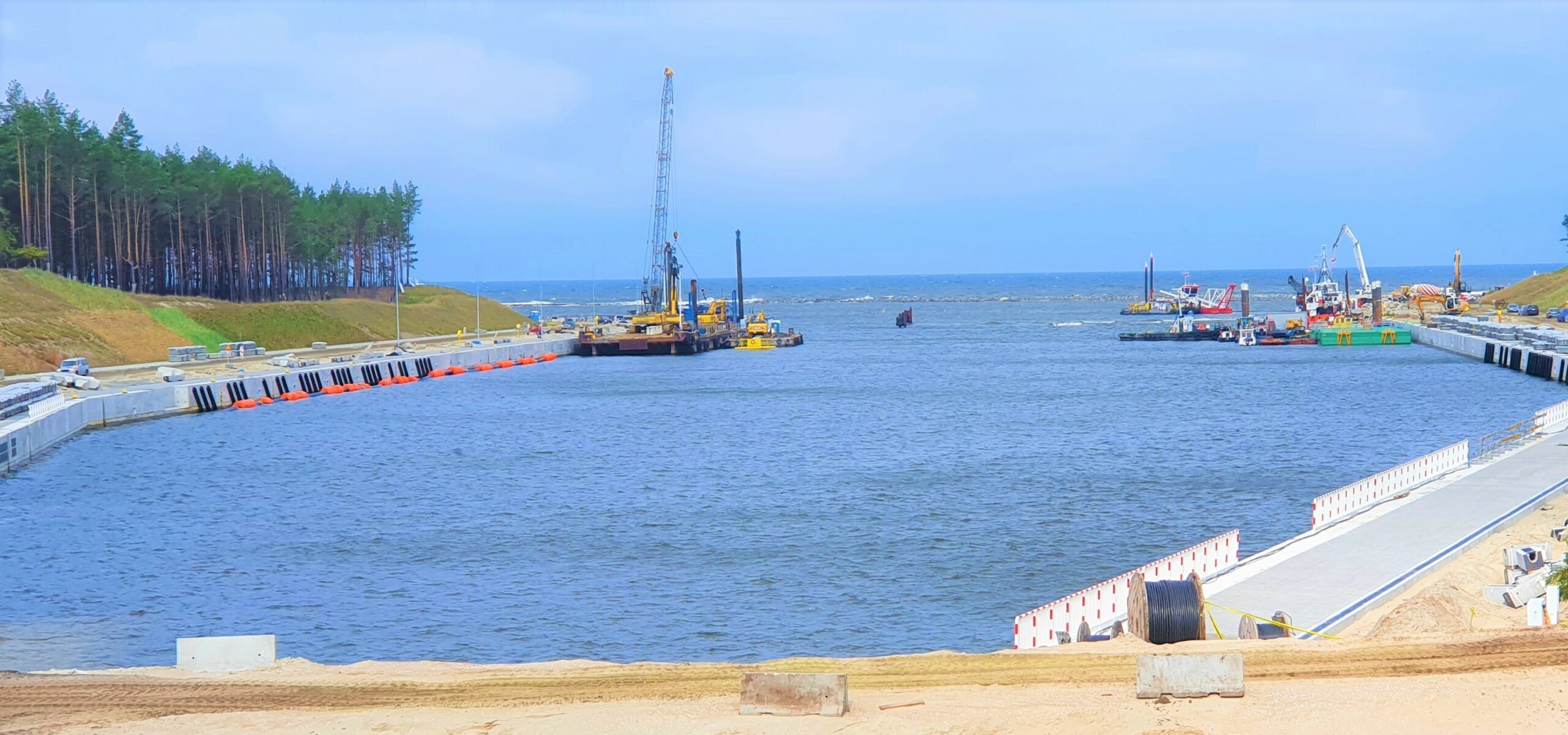
In 2023, a canal through the Vistula Spit will be opened – this will be the only waterway connecting the Vistula Lagoon and the port in Elbląg with the Baltic Sea.
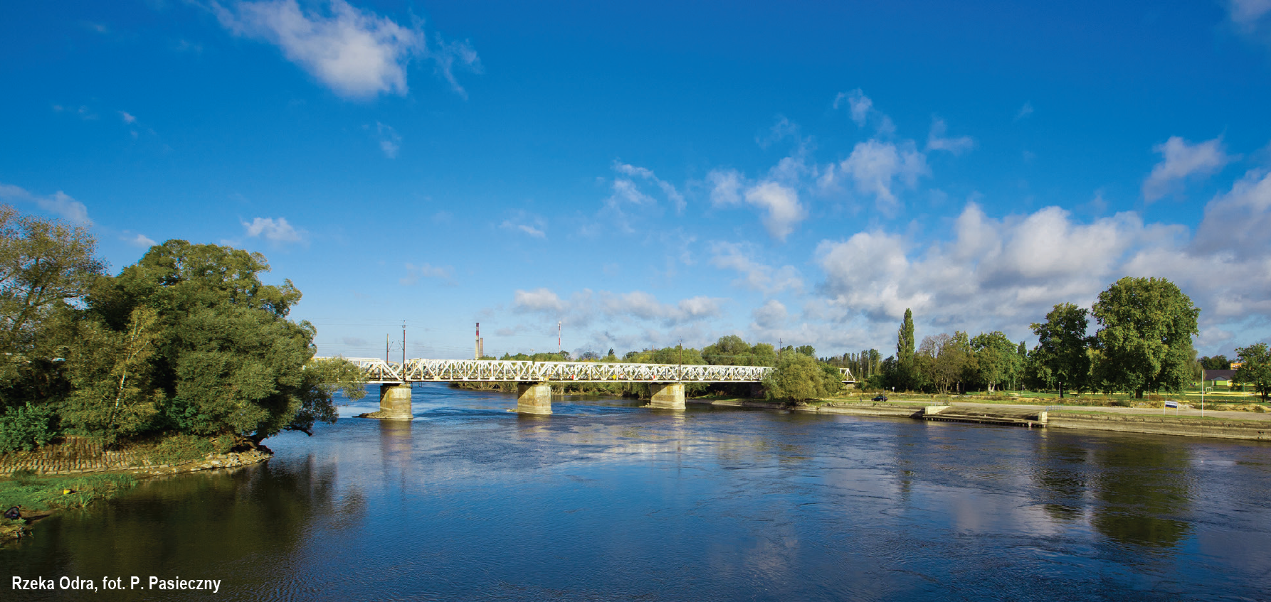
The IWW E70 includes the section of the lower reaches of the Oder river, from kilometre 617.6 (Kostrzyn nad Odrą – confluence with the Warta) to kilometre 667.2 (Hohensaaten – the Oder River joining the Oder-Havel canal), the total length of 49.6 km.
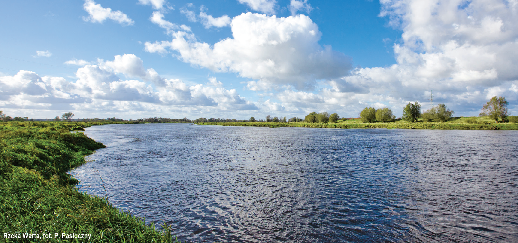
The Warta is the third longest river in Poland. For a distance of 68.2 km – from the confluence of the Noteć with the Warta in Santok (at km 68.2) to the town of Kostrzyn nad Odrą (km 0.0), where it flows into the Oder River, the Warta is part of the IWW E70 (free flowing lower Warta).
The Noteć is the largest creek of the Warta as it is 361 km long. It is divided into two main sections: the Upper Noteć – from its source to Nakło nad Notecią (174 km) – and the Lower Noteć which is a part of IWW E70 and flows all the way from Nakło to its estuary to the Warta (178 km). The Lower Noteć, in its current shape, was canalised between 1906-1914.
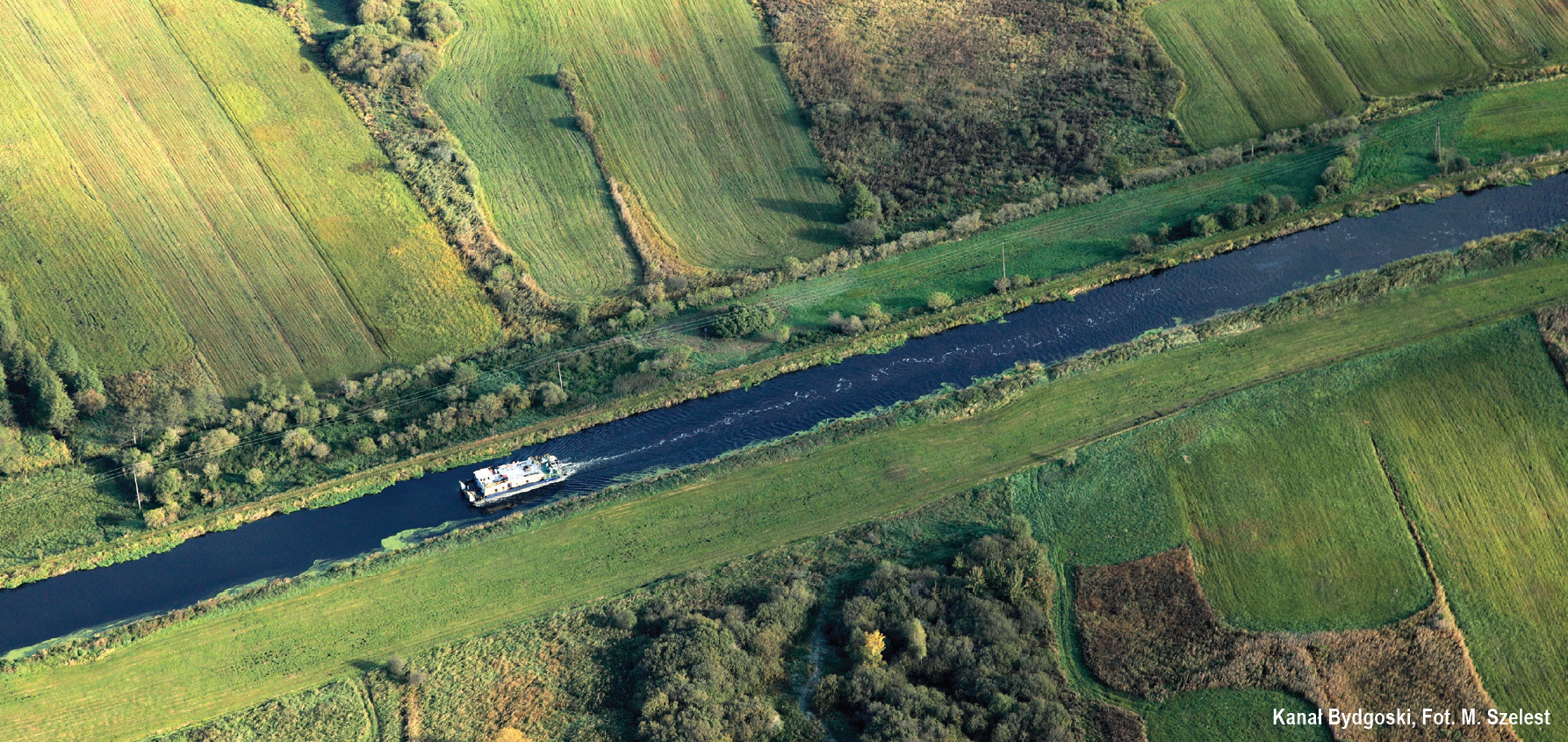
The Bydgoszcz Canal is the oldest operating navigable canal, entered into the register of historical monuments in 2005. The area it runs through served as a trade route with Western Europe already in the 15th century.
The Brda is a left creek of the Vistula. It flows out of Lake Smołowe near Miastko, 238 km from its mouth in Bydgoszcz. It can be divided into two sections. The first one, not classified as an inland waterway – from 238 km to 14.8 km – creates the perfect conditions for water tourism, e.g. canoeing. The second one, canalised – from 14.8 km to Brdyujście – runs through Bydgoszcz and is classified as a class II navigable waterway.
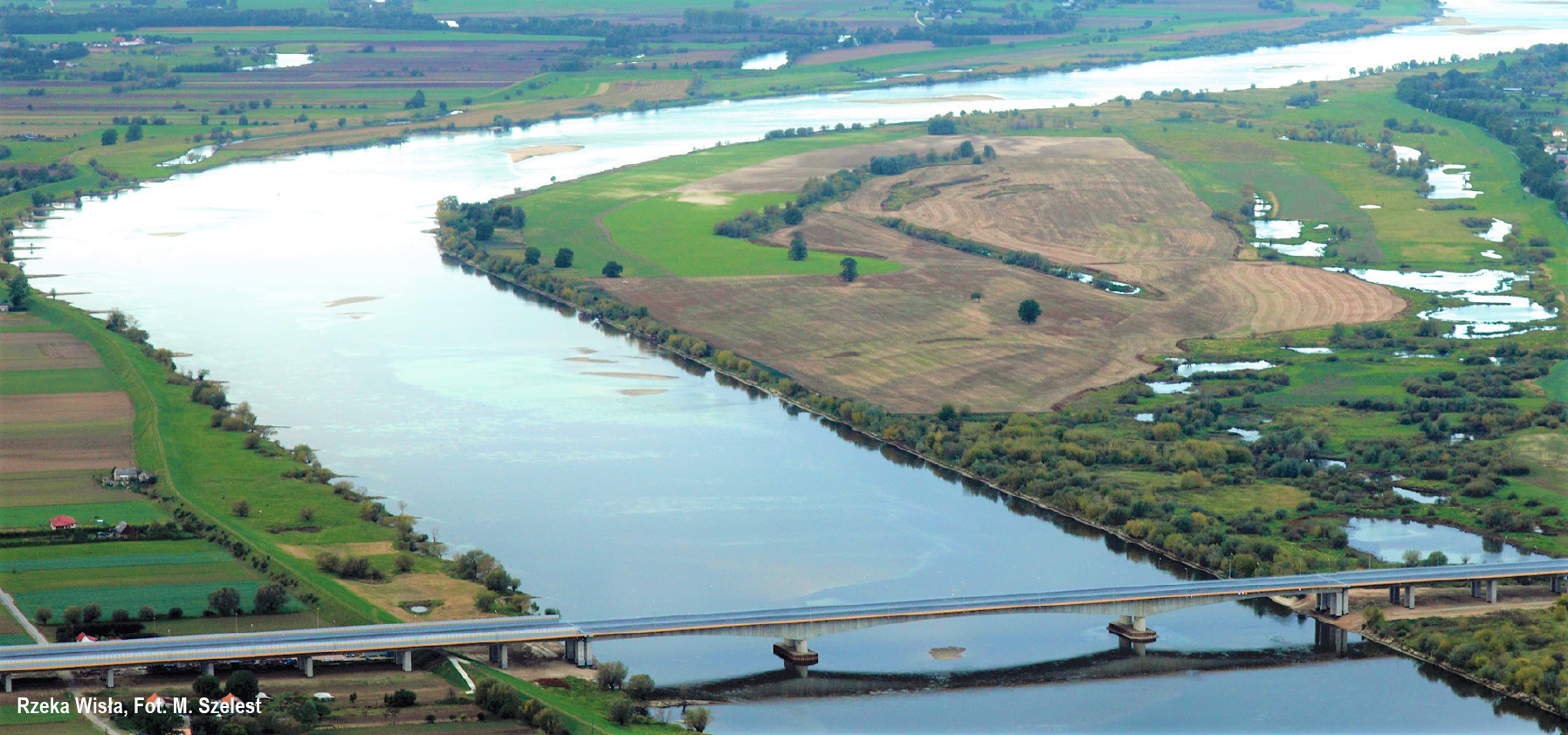
The Vistula is the longest Polish river and – the longest river flowing into the Baltic Sea. It is 1,047 km long and, its basin covers more than a half of the country and the river itself is often referred to as the Queen of Polish Rivers – also because of the huge role it played in the history of our country.
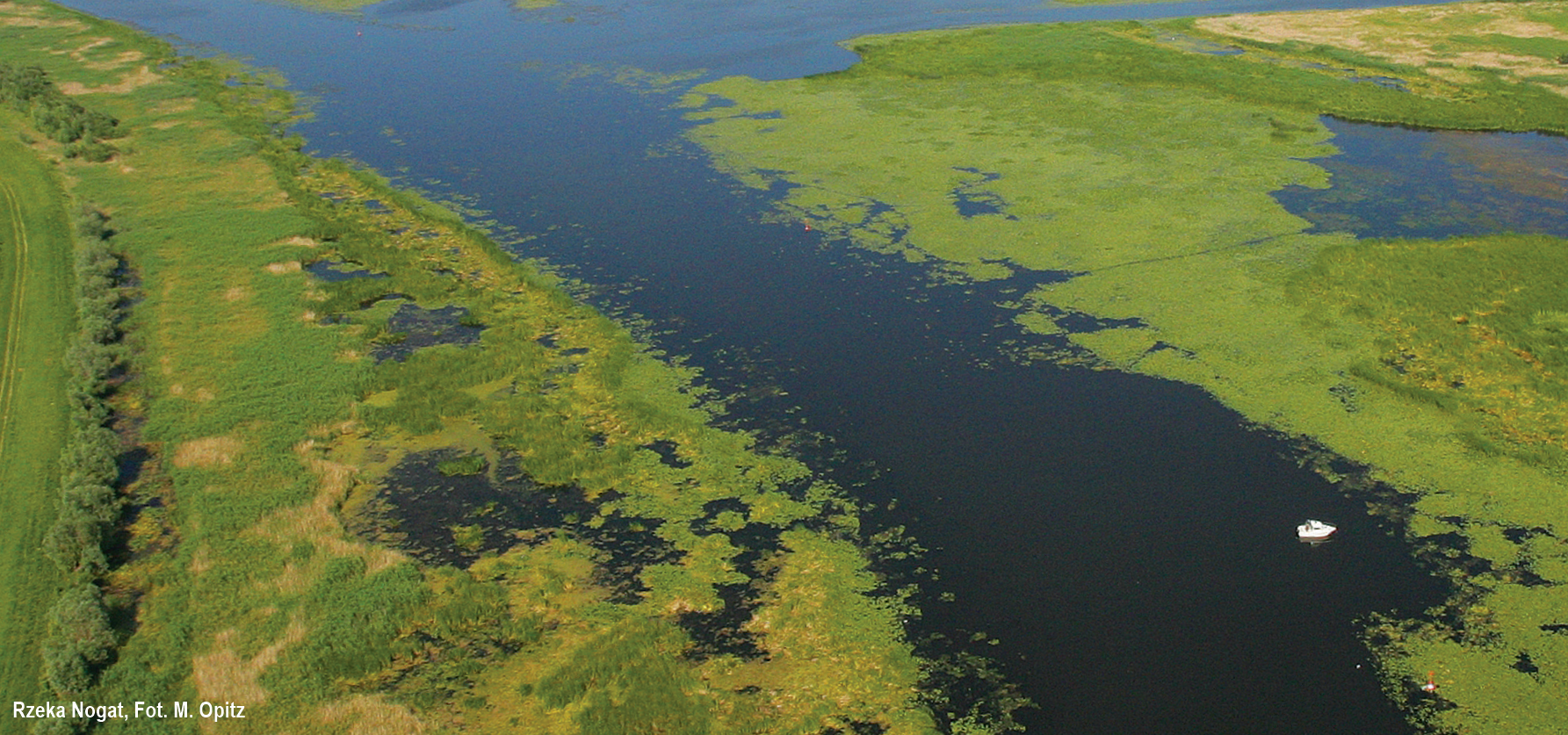
The Nogat is the eastern creek of the Vistula. It is 62 km long, begins its course at the 886.6 km of the Queen of Polish Rivers and flows into the Vistula Lagoon creating a small delta.
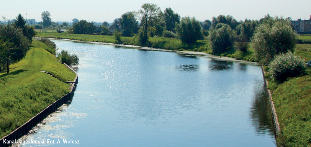
The Jagiellonian Canal is a class II waterway. It is 5.8 km long and connects the Nogat with the Elbląg river near Kępki. One of the oldest canals in Poland, built between 1494 and 1495, then known as the Krafuski Canal.
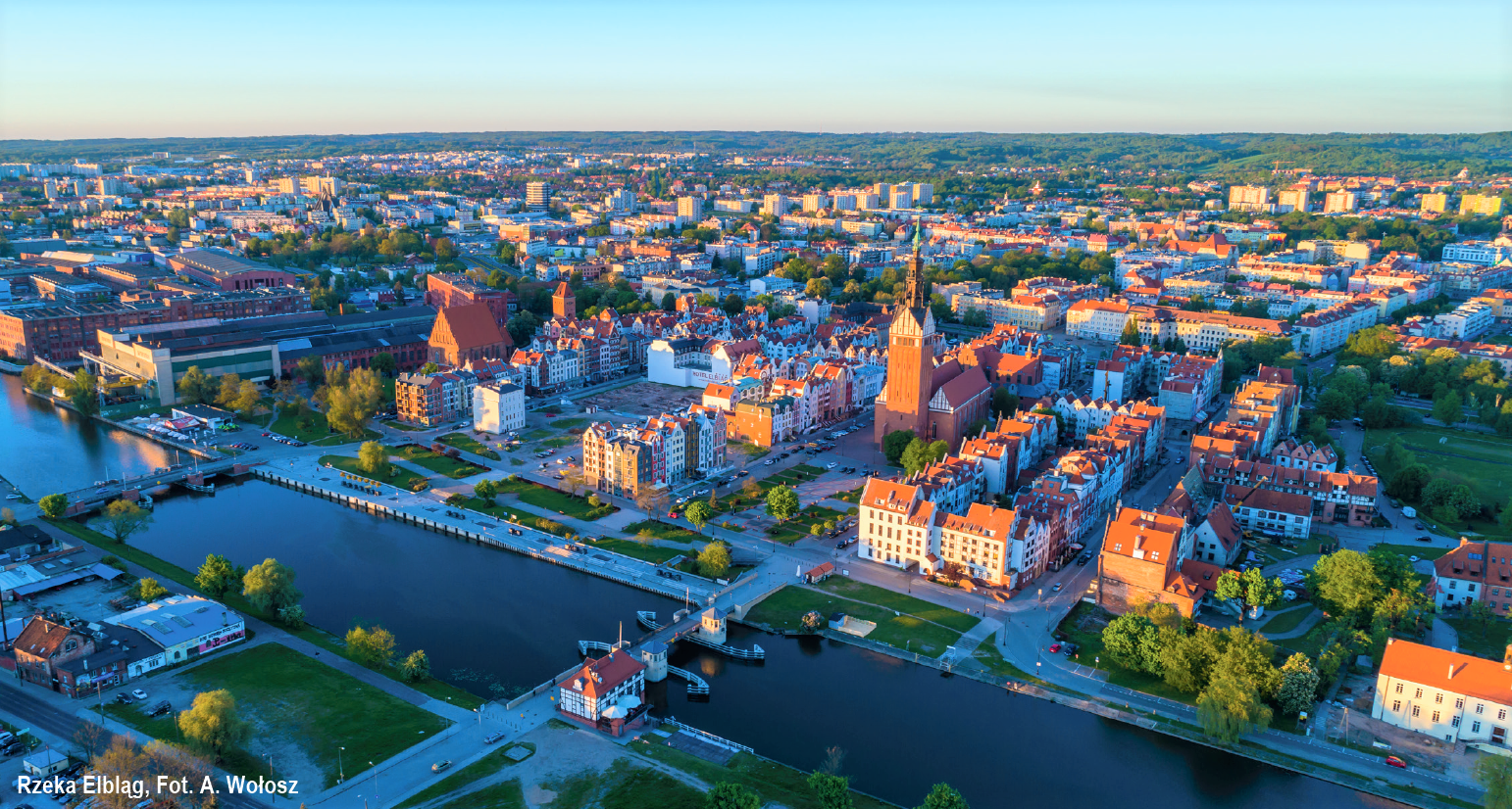
The Elbląg river flows from Lake Druzno and through Żuławy Elbląskie to its mouth in the Vistula Lagoon. It is about 15 km long, however, other data can be found in literature regarding this topic (from 14.5 to 17.7 km). The river starts at Druzno Lake.
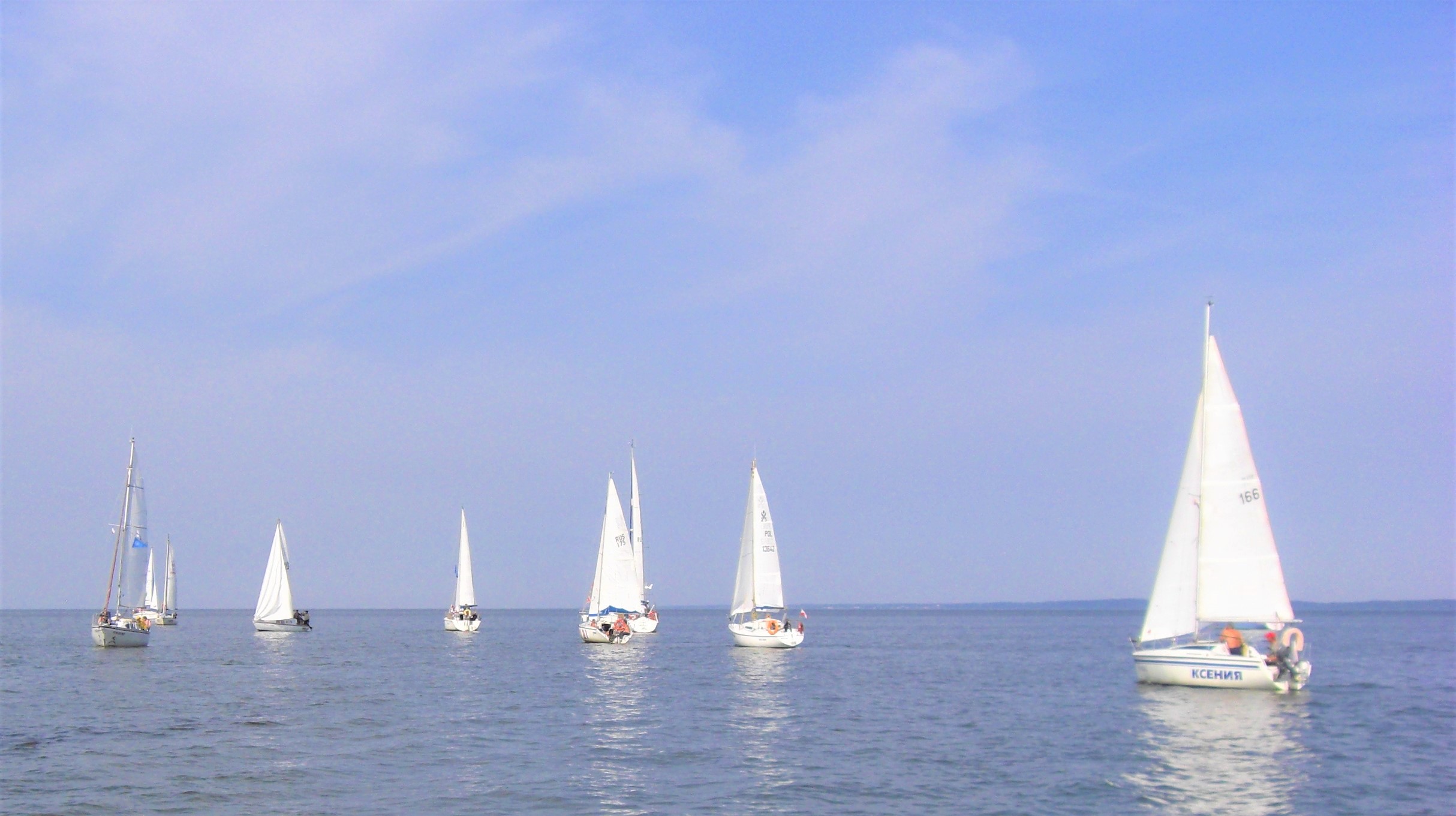
The Vistula Lagoon is classified as polish inland marine waters. There are marine navigation signs and it is managed by the Maritime Administration Office. The Lagoon is a large body of water with an area of 838 km2, 40% of which (328 km2) is located on the Polish territory and the remaining part – known as the Kaliningrad Lagoon – is located on the Russian side of the border.
Martwa Wisła (EN: the Dead Vistula) is the former main estuary arm of the Vistula. It became „dead” after the construction of the Vistula Spit in Świbno and cutting it off from the main estuary with the locks in Przegalina and Pleniewo.
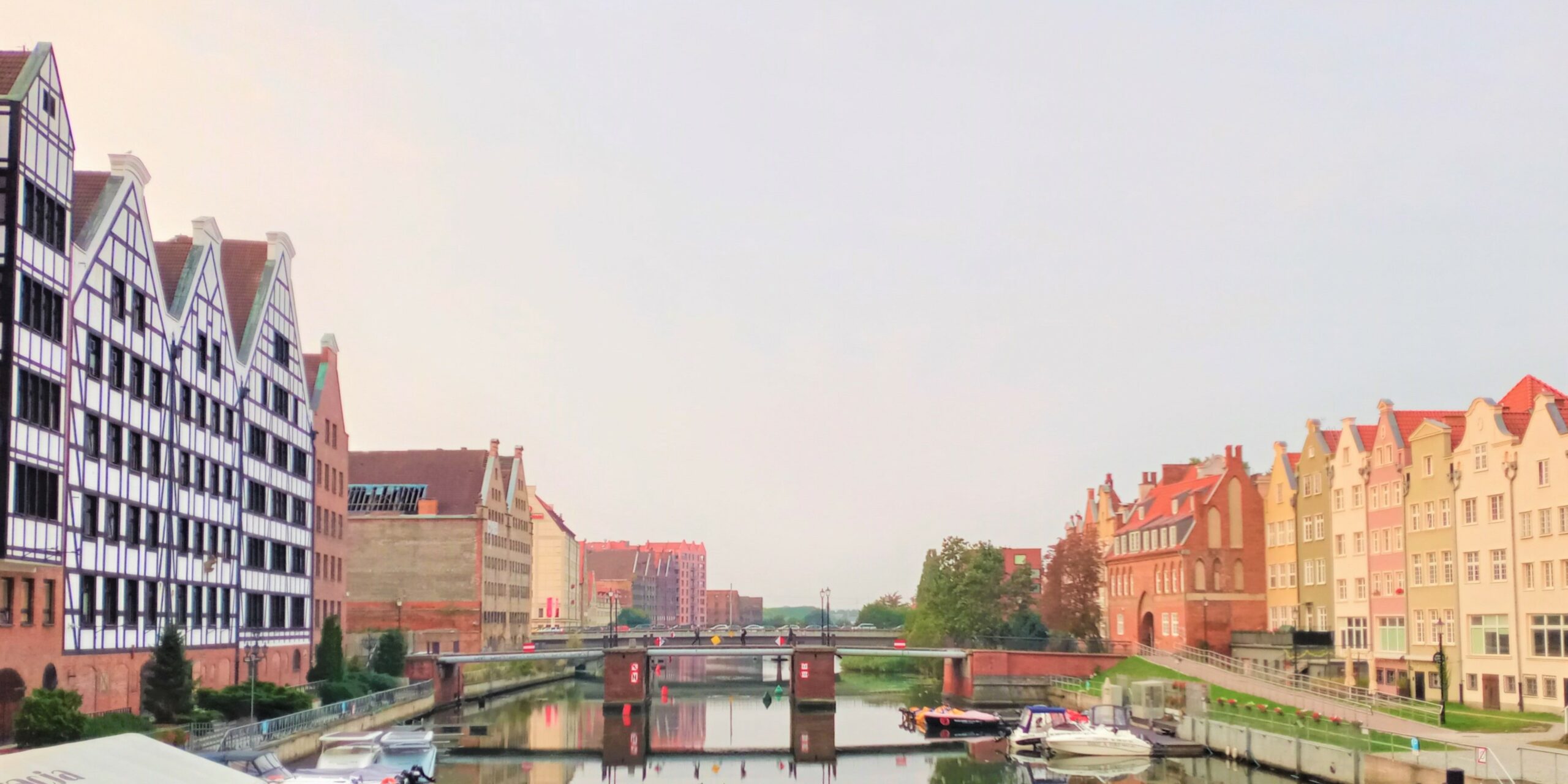
The Motława flows through Żuławy Gdańskie and into the Martwa Wisła at Polski Hak. The section between Polski Hak and Most Zielony (EN: Green Bridge) is considered internal marine waters, while the section from Most Zielony to the “Żabi Kruk” marina, the river is considered a navigable route, under the new Council of Ministers Regulations of 26 June 2019 on inland waterways.
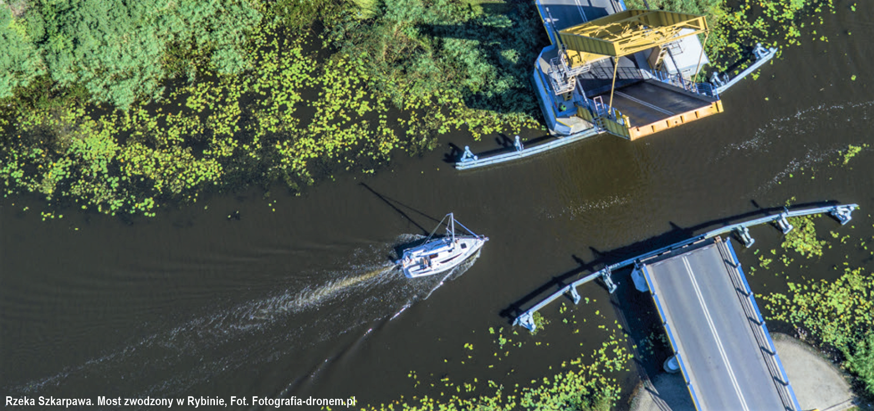
The Szkarpawa flows to the east and is one of the estuary arms of the Vistula (931 km) that allows inland waterway access from Gdańsk do Elbląg. It is currently separated from the Vistula by the Gdańska Głowa lock.
The newest history of the waterway connecting the Vistula Lagoon with the Baltic Sea (the Gulf of Gdańsk) began in 1996, with the development of a concept for the canal, designed by the team under prof. Tadeusz Jednorał commissioned by the Polish State Committee for Scientific Research, as an important part of the restructuring of the Elbląg region.